UXO Survey_
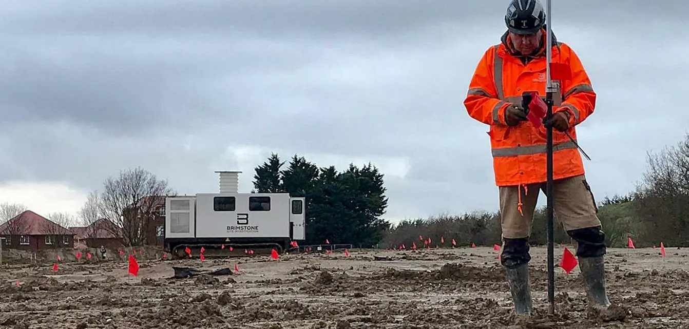
Our UXO surveys are specialised site-based services designed to explore beneath the surface and detect buried ferrous objects. These surveys come in two key forms: intrusive and non-intrusive. Our state-of-the-art equipment enables us to clear wide open areas up to 6m below the ground, down to single pile locations up to 25m deep.
Non-Intrusive UXO Survey_
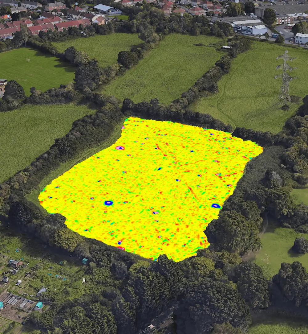
Using state-of-the-art equipment, our non-intrusive UXO surveys can clear large areas up to 6 metres in depth. These surveys excel in pinpointing shallow-buried UXO, including land service ammunition, by using magnetometry to detect ferrous materials and map magnetic signatures.
The technical data collected is processed by our geophysics team, led by Dr Sumana Basu. They use a specialist computer model to look at the anomalies identified and compare them against a bank of known UXO signals. Using our bespoke software, we can make estimations of the depth and mass of any suspected item, along with its location in coordinates accurate to 5 centimetres.
A five-channel system for the detection of ferro-magnetic anomalies in small to medium sized areas carried out by a specialist two-person team.
An eight-channel gradiometer system for the detection of ferro-magnetic anomalies in large areas carried out by a specialist two-person team. Towing the sensors behind an all-terrain vehicle and the wider sensor array increases time-efficiency without detriment to resolution or quality.
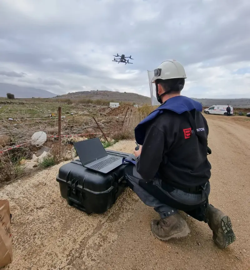
Our specialised drones enable us to carry out UXO surveys in areas where a pushcart or towed-array system cannot reach. Brimstone is proud to have been the first company, both within the UK and overseas, to market drones for UXO surveys, and we continue to develop our systems to ensure maximum benefits for our clients.

Intrusive UXO Survey_
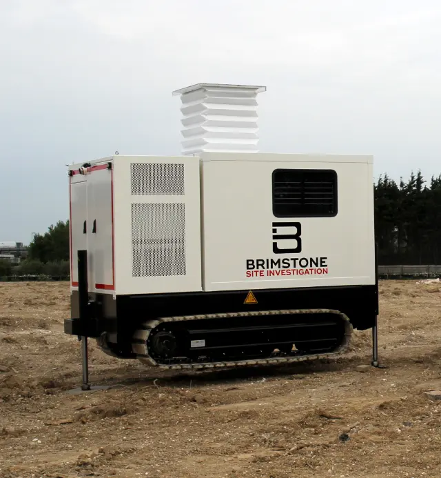
Our CPT rigs can survey single pile positions or clusters for any deep intrusive works on your site. For large scale excavations, we can provide a site-wide matrix clearance, offering a complete survey solution to a maximum depth of 25 metres across a large area. Our system is triaxial, meaning it can also model targets in three dimensions. This allows for more than one pile position to be cleared per one survey position, keeping costs down and projects moving along.
A key benefit of this methodology is that it can be deployed to brownfield sites or sites with areas of made ground – sites that would usually be unsuitable for a non-intrusive methodology. Additionally, greater depths can be achieved with this system when compared to the non-intrusive system.
Where anomalies are detected, the data will be analysed and assessed by our in-house geophysicists. If an anomaly models the characteristics of a UXB, our operations team will discuss and plan the next step in the UXO risk mitigation process.
Drone UXO Survey_
Time, safety and budgetary constraints are a factor in all construction related projects. Drone systems routinely deliver superior UXO survey coverage, surveying up to five times as many hectares in a single day compared to the push-cart system. Drone systems are also highly suited to difficult to access areas.
Our drone systems are highly suited to accessing challenging or remote locations with ease, providing comprehensive surveying solutions in diverse environments. Penetrating up to 6 metres below the surface, we check for potential hazards by using magnetometry to detect ferrous materials and map magnetic signatures. We then send the results back to our experienced geophysicists for analysis.
Our radiation sensors are designed to autonomously capture gamma sources by following pre-determined flight waypoints. When they detect radiation, it immediately triggers an alert, complete with GPS coordinates, which is transmitted to the operational base station. These coordinates are then plotted on radiation maps, allowing for real-time comparison against highlighted changes in isotopes across the entire survey area.
Need help with UXO but not sure where to start?_
Answer a few quick questions and we’ll point you in the right direction.